Here are links to various feeds from rural fire authorities around Australia (links updated 28 December 2022)
GeoJSON and GeoRSS
JSON and RSS files with spatial data are handled nicely by GDAL, which drives the "sf" library in R.
- New South Wales (GeoJSON)
- Queensland (GeoRSS)
- South Australia (GeoRSS, but no spatial data inside)
- Tasmania (GeoRSS)
- Victoria (GeoJSON, but is transferred in GZ form, so needs decompression before it can be used)
- Western Australia (GeoJSON)
South Australia special
South Australia warning data with spatial info is locked down using HTML referrer checks. If you are handy with object inspectors and CURL then you can obtain the GeoJSON files. Look for URLs that begin with:
- https://services.geohub.sa.gov.au/v1CFSHA/featurelayer/server/rest/services/Hosted/CFS_Warnings_Polygons_Public/
Plain JSON
These sources have lat/lon data in them, but are not native GeoJSON. They are intended to drive HTML maps.
- Australian Capital Territory (JSON)
- Northern Territory (JSON)
Common Alerting Protocol
This is quite complex XML, so if you are a wizard with XML then this is probably the way to go.
CAP documentation is available from the Bureau of Meteorology and OASIS.
Example map
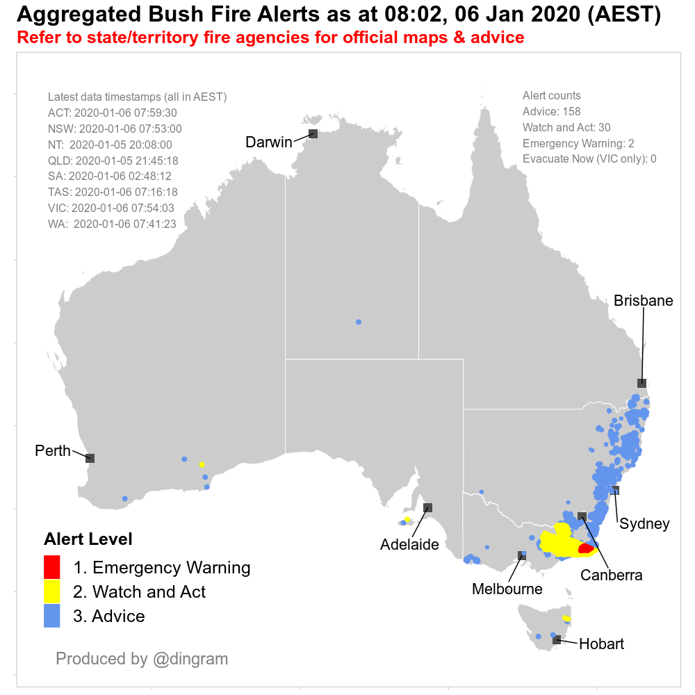
This map was produced using these feeds at a time when there were active fire events in every state/territory in the country.
